

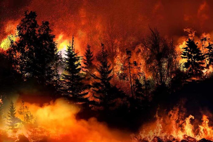
A fast-moving wildfire called the Dome Fire ignited near Wawona Dome in Yosemite, testing emergency response while sparing homes and developed areas so far.
Story Highlights
- Officials say the Dome Fire started north of Wawona Dome around 8:30 a.m. local time.
- The fire burned wildland fuels and grew quickly in steep terrain, drawing air and ground crews.
- Park managers closed nearby trails to keep visitors safe and clear room for firefighting.
- No buildings in Wawona or along Highway 41 were immediately threatened, according to early reports.
Where the Fire Started and What Is Burning
California fire officials reported the Dome Fire began north of Wawona Dome in Yosemite National Park at 8:28 a.m. on September 15, 2026. Reporters on the scene and state updates placed the ignition near the Chilnualna Falls Trailhead. Crews described the fuels as grass, brush, and timber, which can support fast runs when winds align with slope. The location sits in rugged country above the South Fork of the Merced River, where rocky domes and canyons can channel heat and smoke.
Initial size estimates varied through the day as aircraft and engines sized up the blaze from changing vantage points, a common pattern before mapping tools refine numbers. Early updates said the fire expanded through the afternoon as it moved uphill through dry fuels. That growth pattern fits with steep topography that speeds fire spread. Officials did not report any direct threats to homes or major park facilities during the first operational period.
How Firefighters and Park Staff Responded
Yosemite’s fire managers closed the Chilnualna Falls Trail and nearby paths to keep hikers out of danger and to make room for engines, crews, and aircraft. These steps match standard wildland fire playbooks that prioritize public safety, clear access, and quick suppression on new fires. The park and state agencies coordinated resources as crews worked both from the air and the ground to slow the head of the fire and check spot fires downwind.
Officials said the blaze burned in a wilderness area, which reduces structure risk but adds access challenges for firefighters hauling gear in steep terrain. Helicopters can help cool hot spots and guide crews to better anchor points. As the incident progresses, mapping teams typically replace early visual estimates with more precise perimeter data. That shift often tightens acreage figures and improves forecasts for spread and containment.
Why Early Numbers Change During Fast-Moving Fires
Wildfire reporting systems are built to update as new data arrives. In the first hours, crews often rely on quick visual sizing from engines and aircraft. Later, geographic mapping and infrared flights refine the picture and adjust earlier acreage calls. Federal technical guidance notes that large fires must be reported and updated, but smaller incidents and fast shifts can produce timing and size differences across early reports until records sync.
A wildfire exploded in Yosemite National Park Tuesday morning. The Dome Fire broke out north of Wawona Dome near the Chilnualna Falls Trailhead. The Chilnualna Falls trail, as well as the trails from the top of Chilnualna Falls toward Buena Vista and Crescent Lakes, are closed… pic.twitter.com/KCf0H4HwGQ
— California Post (@californiapost) September 16, 2026
For the public, this means early numbers are best seen as working figures, not final totals. The key signals to watch are changes in threat to people, roads, and structures, and whether crews can hold lines through the evening wind change. In this case, officials stressed no immediate risk to Wawona or Highway 41 while they focused on access, safety, and slowing the fire’s advance in rough country.
Sources:
nypost.com, nps.gov, hikingguy.com, fs.usda.gov, pmc.ncbi.nlm.nih.gov
© patriotpostnews.com 2026. All rights reserved.